Where?
Registered in the international DEIMS database, ZATU LTER observatory is located in a geographical sector Nord-East of Clermont-Ferrand at the border of the Limagne valley and the Montagnes Bourbonnaises. The site is characterized both by natural and anthropically enhanced radioactivity, making it relevant to researches on Naturally Occurring Radioactive Materials (NORM) and Technologically Enhanced Naturally Occurring Radioactive Materials (TENORM).
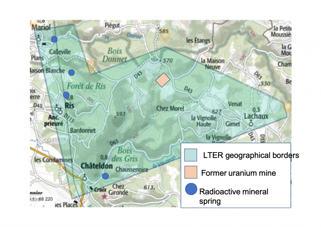
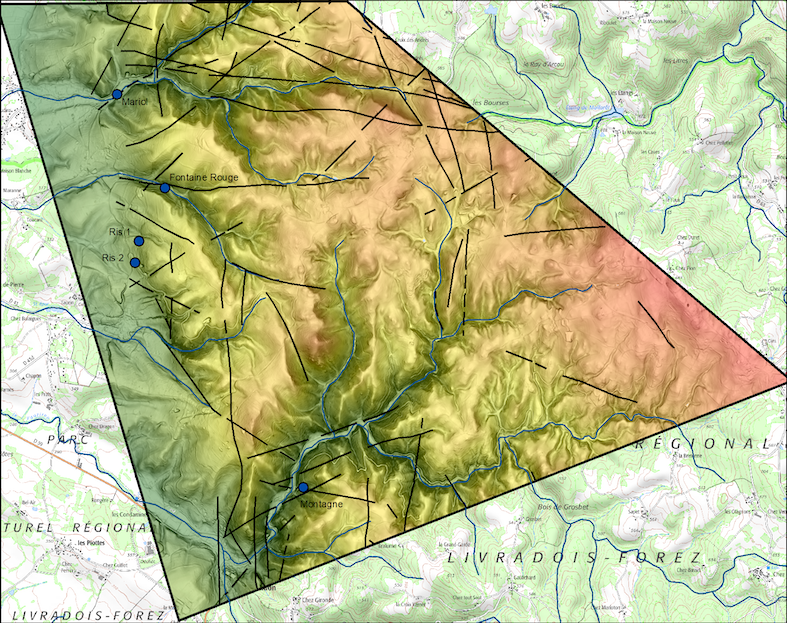
The granitic substrate is crossed by numerous faults along which mineral springs emerge. The Rophin uranium mine (orange box on figure 1) has been exploited from 1949 to 1954: its ore was used for the first tests of the French nuclear bomb.
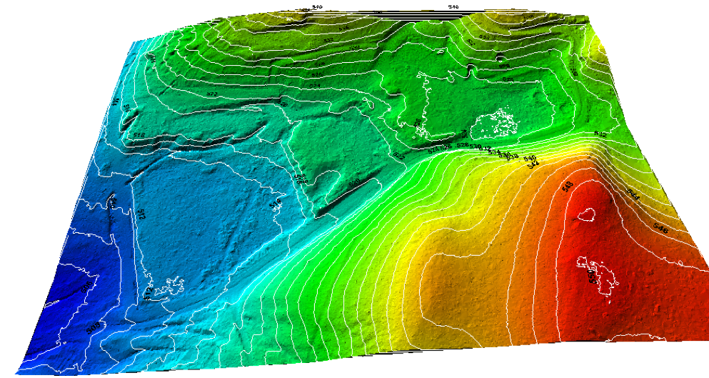
A LiDAR survey was conducted during the winter 2017-2018. Its analysis shows traces of the former mining activity at Rophin (figure 3).